
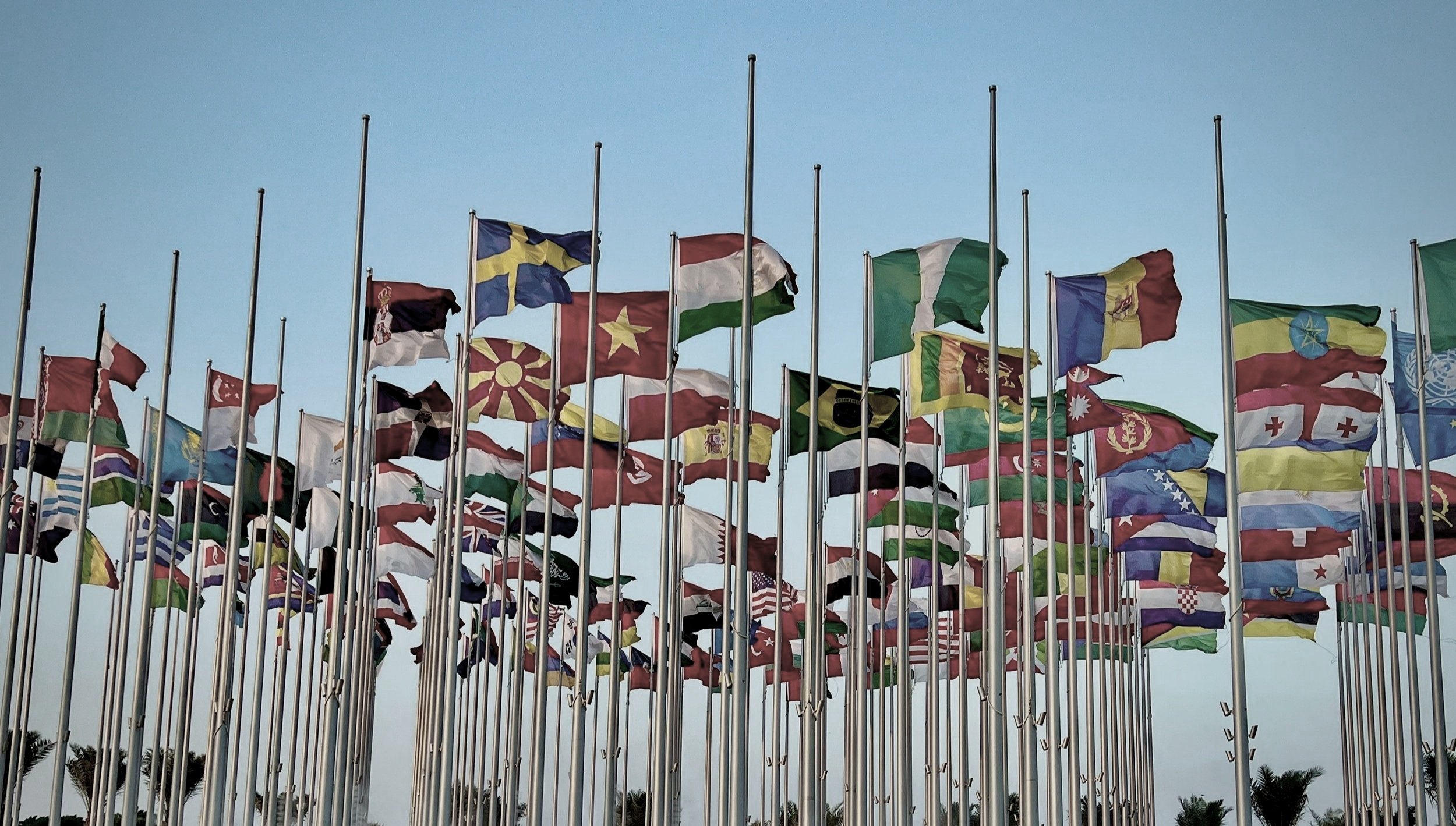
Bilateral Relations Map
A visual guide to the world’s political relationships.
Our Bilateral Relations Map is a student-run project, empowering the next generation of foreign policy analysts.
This project gives high school students hands-on experience in international relations research and diplomatic analysis. Students track and categorize diplomatic ties, analyze geopolitical shifts, and build a dynamic global affairs database — developing critical skills for careers in diplomacy, government, journalism, and international business.

We’re mapping the 17,000+ bilateral relationships in the world.
Our tool uses a simple stoplight scale: green for friendly or aligned countries, yellow for strained relationships, and red for adversaries.
We launched in March 2025 with our first group of students. As we build out the project, stay tuned — soon you’ll be able to explore the intricate web of global relationships.
COMING SOON
Your donation sustains initiatives like the Bilateral Relations Map while strengthening the Institute’s broader work, equipping students to become foreign policy leaders.